Dealesville
A little town in the North-West Free State, geo-position: 28.6745°S, 25.7666°E and 1255m. The town is named after the owner of the farm Klipfontein, John Henry Deales, on which it was laid out. The proclamation was on the 20-July-1899, it became a municipality in 1914.
NG church
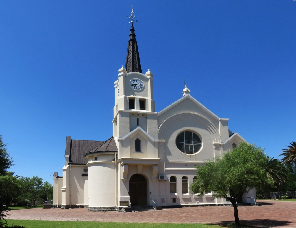 The congregation of the church started in 1904. Initially a residential house was used for services. This was modified and changed to a church in 1905. The first preacher to accept the position was A.L.Badenhorst. He stayed with the congregation until his death in 1913, the grave is in the churchyard.
On the 30-March-1912 he laid the corner stone of the present church. The builder was HH Beaming and the architect, WH Ford. I have come across this name as the architect of the churches in Frankfort, Ventersburg and Kroonstad.
Salt works
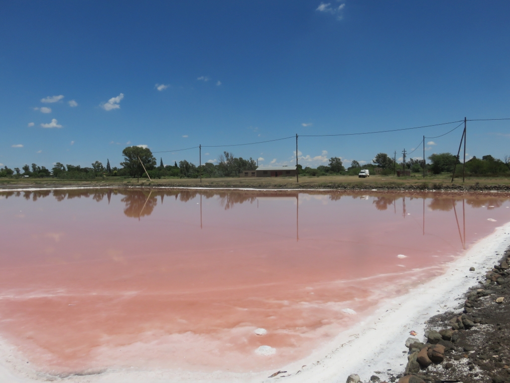 The salt works are not active any more. They were originally started and run by the municipality, the profits being used for the running of the town. I don't know when that was. It has all fallen into disuse. Remaining are the crystalliser ponds, where the brine extracted from underground was allowed to evaporate and crystals to grow.
Sulfur springs
Just out of town, according to the sources, is a sulfur spring. I think we found it, but there is nothing to report, it was not emitting any water at the time of our visit.
Cemetery
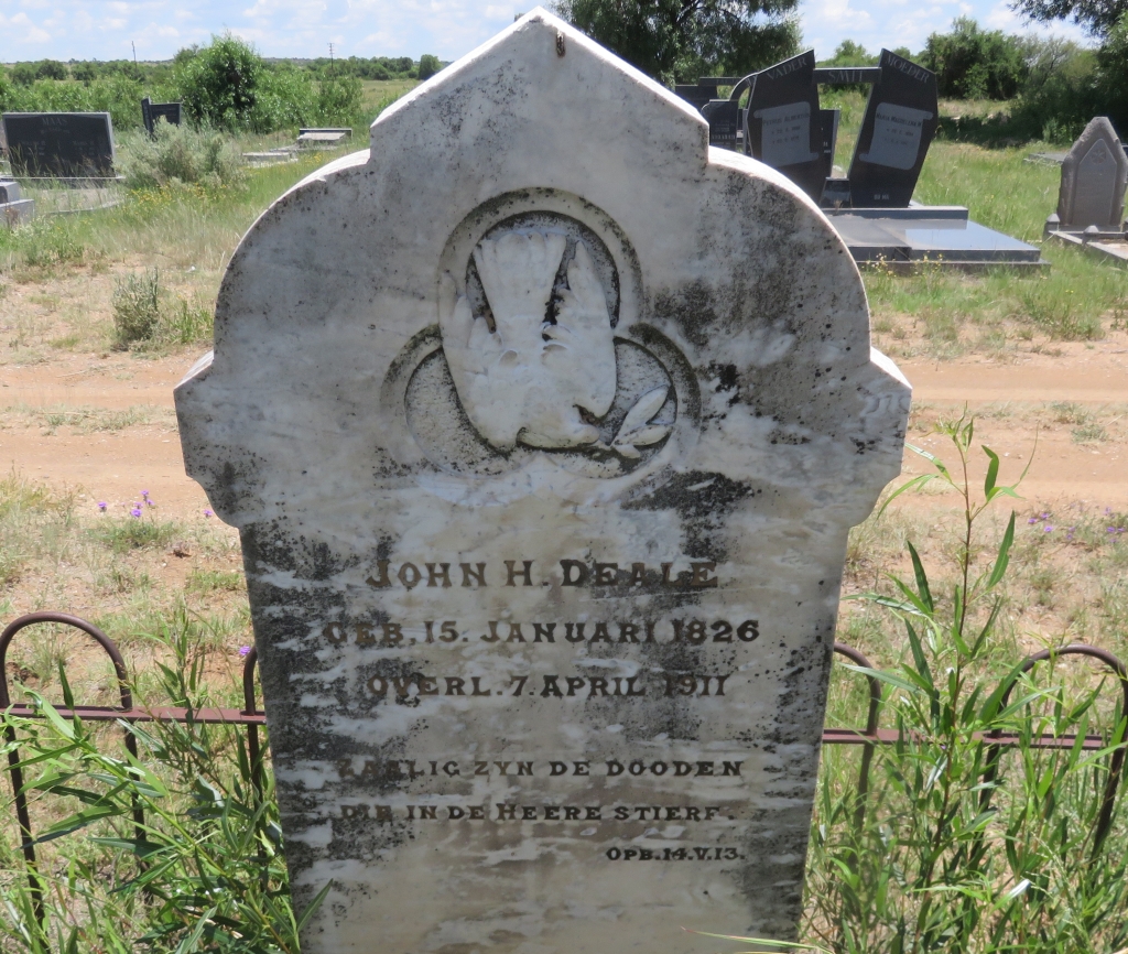 Here we find the grave of John H Deales, the owner of the farm Klipfontein on which the town was laid out. According to the head stone, born 15-Jan-1826, died 7-April-1911.
References
Ref 1.: Standard Encyclopedia of Southern Africa, Nasou Limited, 1974
Ref 2.: PJ Nienaber, CJP le Roux, 'Vrystaat Fokus', CUM Boeke, 1982
Ref 3.: Wikipedia
.