Hertzogville
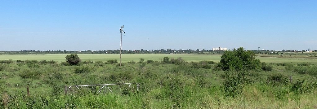
A neat little town, but I couldn't find much to write about it. Hertzogville is situated on the shore of Palmietfontein Pan, it was proclaimed in 1915 and laid out on the farm Donkerfontein, geo-position: geo-position: 28.1291°S, 25.5066°E and 1284m. Its name it got from General JBM Hertzog, a Boer general and the Prime Minister of the Union at the time. Municipal status was obtained in 1924.
The most significant building is the NG church. The congregation was established in 1917 by ceding parts of the congregations of Boshof, Bultfontein and Hoopstad.
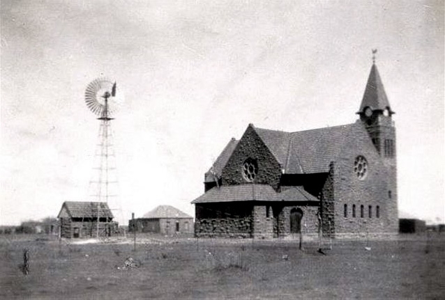
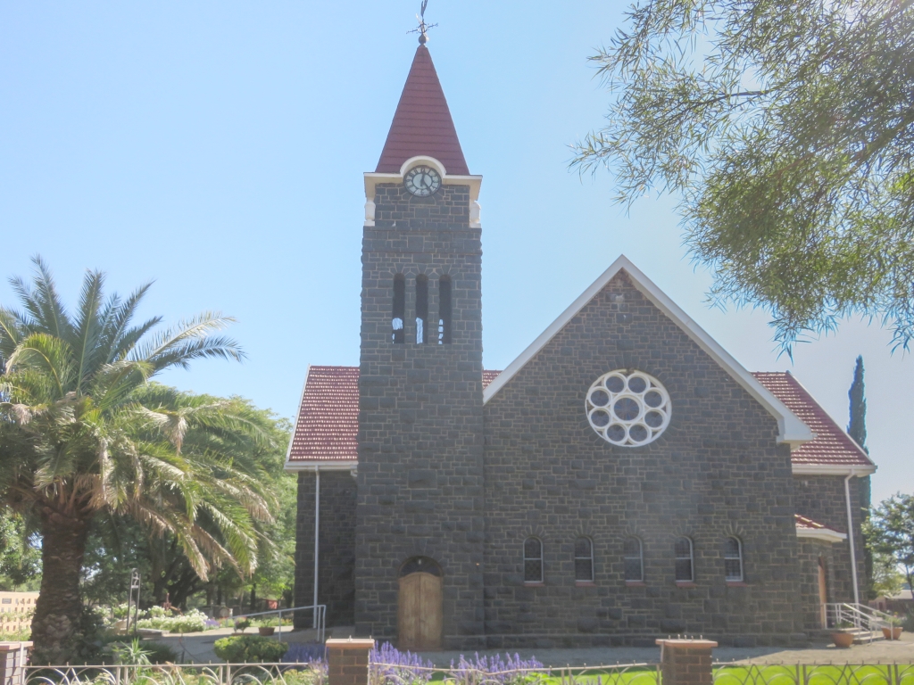 General Hertzog came in person to lay the cornerstone of the new church on the 24-Oct-1924, the building was completed and inaugurated on the 24-April-1926. The architects were Louw and Moerdyk, at the time a partnership of the two well known church designers (and other buildings).
In the rush I didn't take a good picture of the church, thus I also included a 100 year old photo from Wikipedia.
There are a few memorials, on the way in from the Vaal river side we find a monument for the 150 year celebration of the Great Trek. At the church is a pyramid for the 1938 centenary celebration of the same event. And a memorial stone to commemorate the following events: the Anglo Boer war (1899-1902), the historical Ossewa trek 1938 and inauguration of the Voortrekker Monument in 1949.
References
Ref 1.: Standard Encyclopedia of Southern Africa, Nasou Limited, 1974
Ref 2.: Wikipedia