Wolwehoek
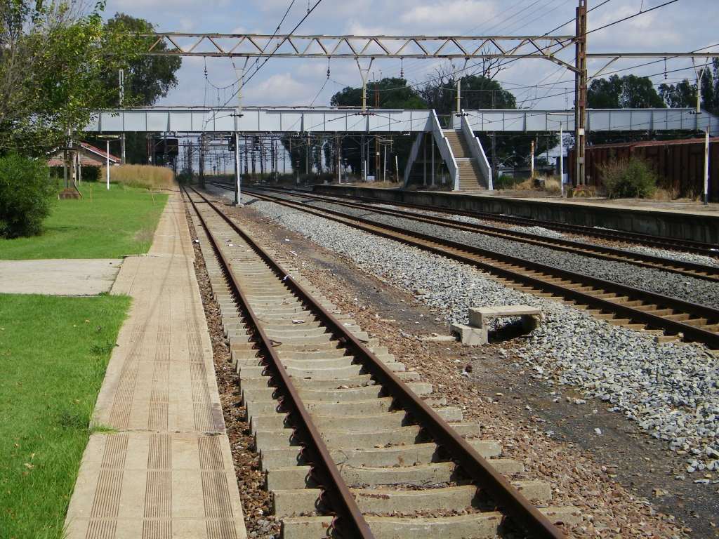
 Essentially it's a railway station, or at least used to be one. Over the years it has become an economic hub, mainly agriculture related industry that established itself here. Apart from the big silos of Senwes there are abattoirs, a tannery and feedlots, the picture doesn't show all. It's geo-position: 26.9161°S, 27.82°E and 1499m.
Railway Station
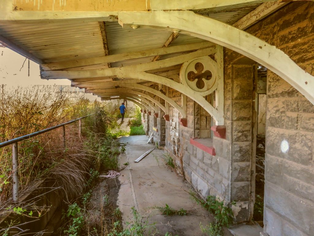 The railway line from Bloemfontein to Vereeniging was pushed through here in 1892. The station was established at the same time.
It is interesting to note that construction was done at record speed, construction crews were working day and night. The rate of laying the line averaged at 5 km per week. The rush was to be the first in to capture the lucrative freight traffic to Johannesburg against the competition from the Natal line and the line from Lourenco Marques (Maputo).
The railway line from Bloemfontein to Vereeniging was pushed through here in 1892. The station was established at the same time.
It is interesting to note that construction was done at record speed, construction crews were working day and night. The rate of laying the line averaged at 5 km per week. The rush was to be the first in to capture the lucrative freight traffic to Johannesburg against the competition from the Natal line and the line from Lourenco Marques (Maputo).
In 1898 a branch-line was constructed from here to Heilbron, see elsewhere on this website.
The old station building shown in the picture is most likely from those days. A newer station building was added later. Both are now in ruins with only a partial roof. The station is not used as a station, but there is still some local traffic to the silos. Switches to get on and off the main line are remotely operated. Once off the main line any shunting operation has to be done manually by the driver or shunter.
Cemetery
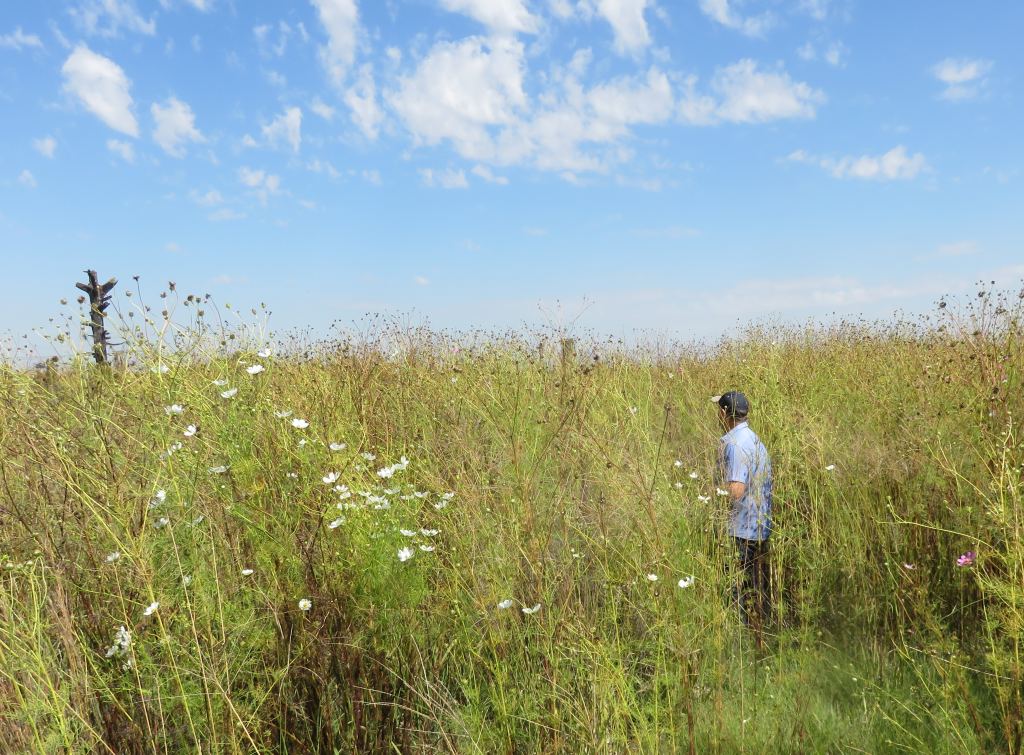
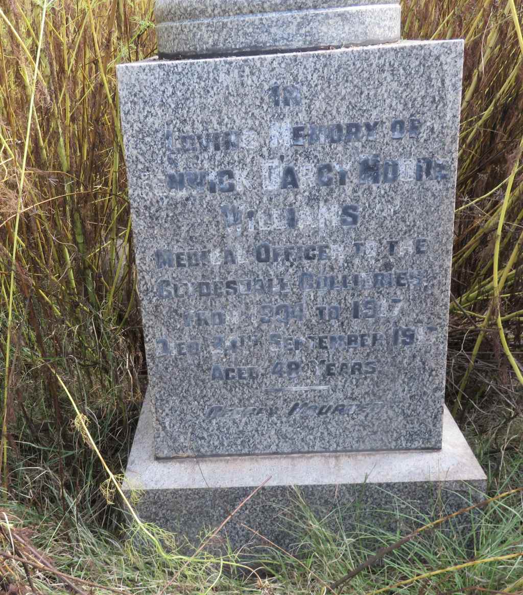 There is a cemetery which is very well hidden under 2m high cosmos. The picture shows the battle we had to get to the graves. I counted 15 head stones, but there could be more still to be found. I am just singling out one grave, that of Penwick Williams. The inscription reads: in; loving memory; of; Penwick Dargy Moore; Williams, Medical Officer to the; Clydesdale Colleries; from 1904 to 1917; died 24th September 1917; aged 48 years; deeply mourned. (The ; represents a line break)
He was the mine doctor from the beginning when the first shaft was sunk. You can read more about this coal mine under Coalbrook. The mine is about 10km from Wolwehoek. Other stones with inscriptions refering to Cydesdale indicates that this was used by the mine as a grave yard.
School
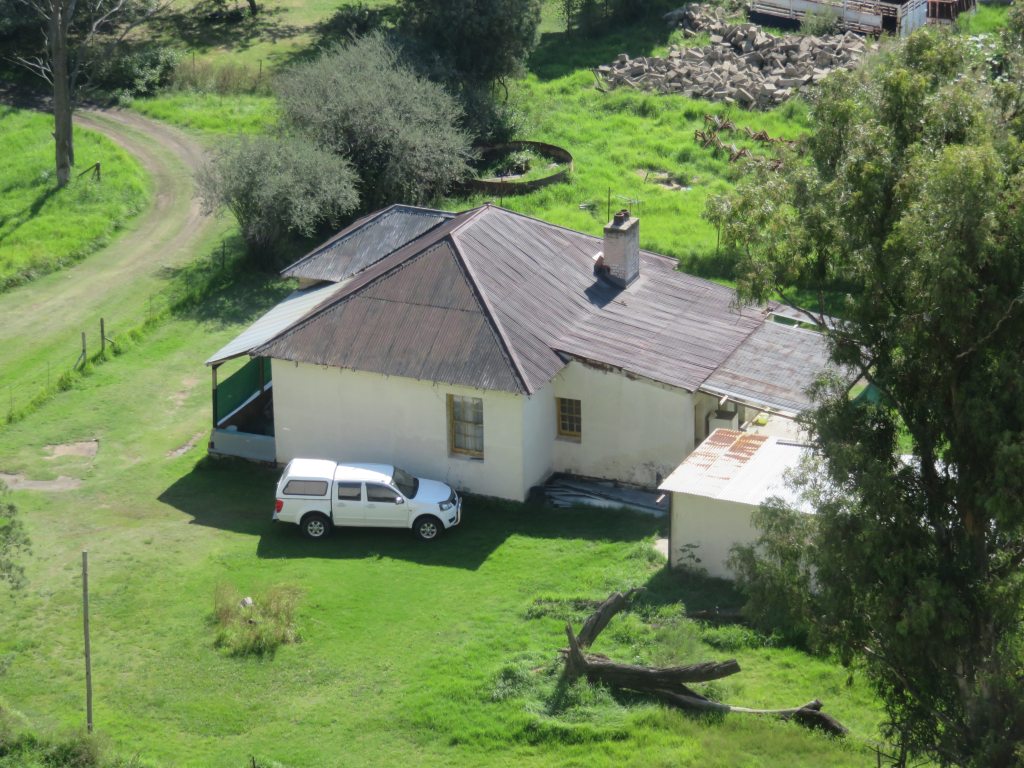 There used to a school in Wolwehoek. The school is gone, but the house that the teacher occupied is still in existance, that is what the picture shows.
References
Ref 1.: Standard Encyclopedia of Southern Africa, Nasou Limited, 1974